
CAMERI Wave Buoy Data
Live and historical measurements from Israel’s Mediterranean and Red Sea
Wave Buoy Data for Haifa, Ashdod, and Eilat
Near real-time wave measurements from CAMERI’s directional wave-rider buoys in Haifa, Ashdod, and Eilat, providing reliable half-hourly data to support safe and efficient maritime operations.
Haifa Buoy
Live wave measurements in the Haifa area are provided by CAMERI using a Datawell directional wave-rider buoy. Located at ~24 m depth, this system delivers reliable hourly wave data since 1993.
Ashdod Buoy
Live wave measurements in the Haifa area are provided by CAMERI using a Datawell directional wave-rider buoy. Located at ~24 m depth, this system delivers reliable hourly wave data since 1992.
Eilat Buoy
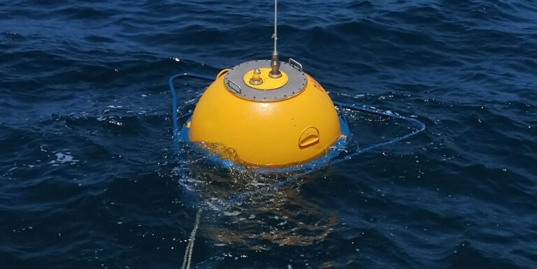
Wave measurements in the Eilat area are provided by CAMERI using a Datawell DWR4 directional wave-rider buoy deployed in March 2023. This buoy delivers near real-time data on wave height, direction, sea surface temperature, and currents, supporting safe and informed maritime activities.
Disclaimer of liability
The data displayed represent average values from three wave buoys and are provided for informational purposes only. They are not intended for academic, commercial, or operational use without prior written consent from CAMERI.
CAMERI makes no guarantees regarding the accuracy, completeness, or fitness of this data for any specific purpose. The information may be based on third-party sources or subject to change without notice. Use of this data is at your own risk. CAMERI shall not be held liable for any direct, indirect, incidental, or consequential damages arising from the use of, reliance on, or inability to use this information.
To request permission for use, please reach out via our Contact Us page.
Explore Our Comprehensive Oceanographic Data System

ADVA SeAdvisorNear Real-Time Ocean Monitoring & Maritime Insights
🌀 Monitor oceanographic data, including waves, wind, currents, and sea level, in real-time or through historical datasets for research, planning, and operational decisions.
🚢 Track and analyze AIS vessels.
Visualize and analyze AIS data to effectively assist port operations, traffic management, and maritime situational awareness.